Mindblown: a blog about philosophy.
-
Test Message
FROM: Encryption Verification AREA: Daviess County, KY SENT: 2026-07-29T09:33:51-07:00 Config Encryption Verification Test Confirming platform_configs decryption works end-to-end after encrypting credentials at rest. Alert Expiration: 2026-07-29T10:33:51-07:00
-
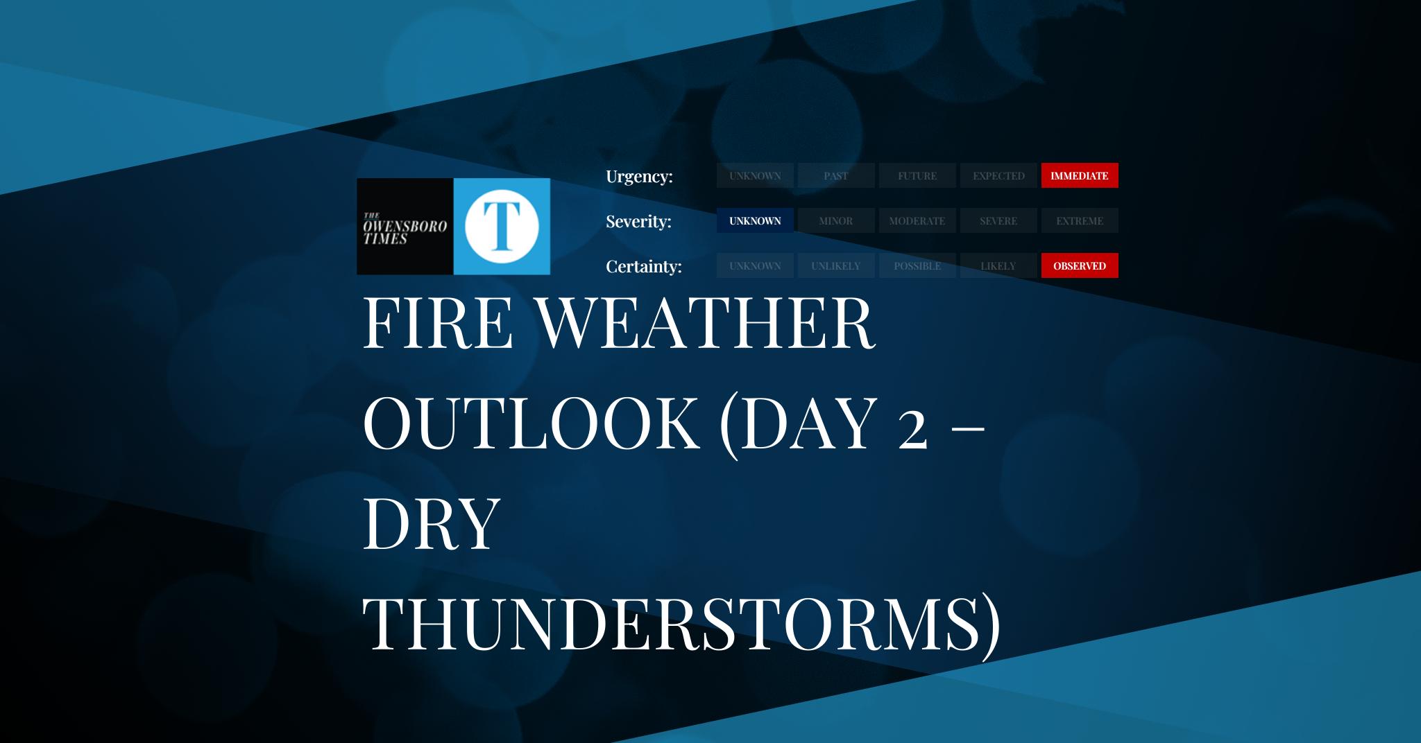
Fire Weather Outlook (Day 2 – Dry Thunderstorms)
FROM: NWS Storm Prediction Center AREA: Counties within the Isolated Dry Thunderstorm Risk area SENT: 2026-07-30T12:00:00+00:00 Fire Weather Outlook (Day 2 – Dry Thunderstorms): Isolated Dry Thunderstorm Risk Fire Weather Outlook (Day 2 – Dry Thunderstorms) – Isolated Dry Thunderstorm Risk Issued: 2026-07-30T12:00:00+00:00 Valid through: 2026-07-31T12:00:00+00:00 https://www.spc.noaa.gov/products/fire_wx/day2fw_dryt.html Alert Expiration: 2026-07-31T12:00:00+00:00
-

Convective Outlook (Day 3)
FROM: NWS Storm Prediction Center AREA: Counties within the Marginal Risk area SENT: 2026-07-31T12:00:00+00:00 Convective Outlook (Day 3): Marginal Risk Convective Outlook (Day 3) – Marginal Risk Issued: 2026-07-31T12:00:00+00:00 Valid through: 2026-08-01T12:00:00+00:00 https://www.spc.noaa.gov/products/outlook/day3otlk_cat.html Alert Expiration: 2026-08-01T12:00:00+00:00
-

Convective Outlook (Day 3)
FROM: NWS Storm Prediction Center AREA: Counties within the General Thunderstorms Risk area SENT: 2026-07-31T12:00:00+00:00 Convective Outlook (Day 3): General Thunderstorms Risk Convective Outlook (Day 3) – General Thunderstorms Risk Issued: 2026-07-31T12:00:00+00:00 Valid through: 2026-08-01T12:00:00+00:00 https://www.spc.noaa.gov/products/outlook/day3otlk_cat.html Alert Expiration: 2026-08-01T12:00:00+00:00
-

Convective Outlook (Day 2)
FROM: NWS Storm Prediction Center AREA: Counties within the Slight Risk area SENT: 2026-07-30T12:00:00+00:00 Convective Outlook (Day 2): Slight Risk Convective Outlook (Day 2) – Slight Risk Issued: 2026-07-30T12:00:00+00:00 Valid through: 2026-07-31T12:00:00+00:00 https://www.spc.noaa.gov/products/outlook/day2otlk_cat.html Alert Expiration: 2026-07-31T12:00:00+00:00
-

Convective Outlook (Day 2)
FROM: NWS Storm Prediction Center AREA: Counties within the Marginal Risk area SENT: 2026-07-30T12:00:00+00:00 Convective Outlook (Day 2): Marginal Risk Convective Outlook (Day 2) – Marginal Risk Issued: 2026-07-30T12:00:00+00:00 Valid through: 2026-07-31T12:00:00+00:00 https://www.spc.noaa.gov/products/outlook/day2otlk_cat.html Alert Expiration: 2026-07-31T12:00:00+00:00
-

Convective Outlook (Day 2)
FROM: NWS Storm Prediction Center AREA: Counties within the General Thunderstorms Risk area SENT: 2026-07-30T12:00:00+00:00 Convective Outlook (Day 2): General Thunderstorms Risk Convective Outlook (Day 2) – General Thunderstorms Risk Issued: 2026-07-30T12:00:00+00:00 Valid through: 2026-07-31T12:00:00+00:00 https://www.spc.noaa.gov/products/outlook/day2otlk_cat.html Alert Expiration: 2026-07-31T12:00:00+00:00
-

Convective Outlook (Day 1)
FROM: NWS Storm Prediction Center AREA: Counties within the Slight Risk area SENT: 2026-07-29T12:00:00+00:00 Convective Outlook (Day 1): Slight Risk Convective Outlook (Day 1) – Slight Risk Issued: 2026-07-29T12:00:00+00:00 Valid through: 2026-07-30T12:00:00+00:00 https://www.spc.noaa.gov/products/outlook/day1otlk_cat.html Alert Expiration: 2026-07-30T12:00:00+00:00
-

Convective Outlook (Day 1)
FROM: NWS Storm Prediction Center AREA: Counties within the Marginal Risk area SENT: 2026-07-29T12:00:00+00:00 Convective Outlook (Day 1): Marginal Risk Convective Outlook (Day 1) – Marginal Risk Issued: 2026-07-29T12:00:00+00:00 Valid through: 2026-07-30T12:00:00+00:00 https://www.spc.noaa.gov/products/outlook/day1otlk_cat.html Alert Expiration: 2026-07-30T12:00:00+00:00
-

Convective Outlook (Day 1)
FROM: NWS Storm Prediction Center AREA: Counties within the General Thunderstorms Risk area SENT: 2026-07-29T12:00:00+00:00 Convective Outlook (Day 1): General Thunderstorms Risk Convective Outlook (Day 1) – General Thunderstorms Risk Issued: 2026-07-29T12:00:00+00:00 Valid through: 2026-07-30T12:00:00+00:00 https://www.spc.noaa.gov/products/outlook/day1otlk_cat.html Alert Expiration: 2026-07-30T12:00:00+00:00
Got any book recommendations?